- Visions18
- Visions17
- Visions16
- Visions15
- Visions14
- Construction
- Visions13
- Visions12
- Visions11
-
Enlighten
- As Enlighten '10 Ends
- Exploring an Active Caldera
- Life in the Extreme
- Dive J2-516
- Transforming the ROV Jason
- Weather: Sunday August 15, 2010 ...
- International District to ASHES ...
- A Day Full of Vents and Sunshin ...
- Students at Sea
- Captain's Weather Report
- Weathering a Bit of a Blow
- Details at ASHES
- First Jason Dive at Axial Seamo ...
- David's Spheres
- Newport to Axial Volcano
- Port Call, Newport, Oregon
- Final Science Day Leg 1
- Nice Weather
- Finding a Passion
- Meter-Scale Imaging
- Bubbles from the Seafloor
- Documenting Seep Sites
- Social and Scientific
- Nested Surveys
- Kinship Aboard the Thompson
- Exploring Gary's Bad Hang with ...
August 2010
July 2010

Related Images and Videos : View All
Continuing High-Resolution Mapping and Direct Imaging of Southern Hydrate RIdge
Saturday, July 31, 2010
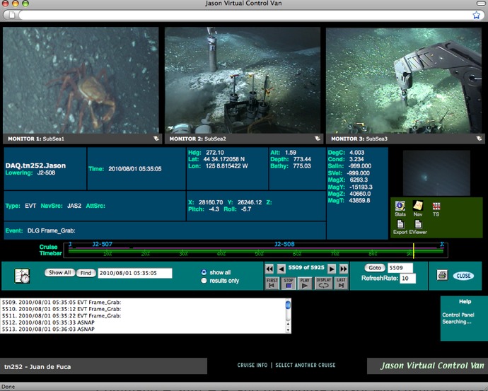
Jason Dive J2-508 continued...
Recovery and deployment of Sentry while Jason is in the water profoundly enhances time on bottom

During the evening of July 31, the R/V Atlantis "visited" the R/V Thompson at Southern Hydrate Ridge. The high resolution map just that day completed by Sentry was passed over to the Atlantis Chief Scientist along with sampling targets to aide in their Alvin dive the following day. Image taken by M. Elend, University of Washington.

Frame grab of Jason sonar image showing Ocean Drilling Program Holes at Southern Hydrate Ridge.
Today Jason and Sentry continue their exploration and high-resolution mapping of Southern Hydrate Ridge. During the early morning of July 31, Jason encountered bacterial mats and what are believed to be exposed small patches of methane hydrate. Much of the southwest area of the ridge is characterized by gentle, sediment-covered terrane with small patches of carbonate cobbles. As the Jason survey progressed to the north, several areas of bacterial mats were encountered.
After mission 68, Sentry was recovered onto the Thompson while Jason continued to work at a water depth of 780 m in sites of active seeps. Just prior to recovery of Sentry, Jason came off bottom a couple hundred meters for safety so that the ship could easily maneuver into position to recover Sentry. Once Sentry was back on deck at 1230, Jason drove back to the work site and continued surveying the methane seep sites. This mode of operation, where Jason can continue to work as Sentry is recovered and deployed, significantly enhances the total time we are able to map and document the proposed cabled observatory site at Southern Hydrate Ridge.
During the survey Jason completed 22 survey lines that provided an excellent overview of the summit of Southern Hydrate Ridge. This work resulted in documentation of numerous sites of active seeps, which are characterized by hummocky terrain with small mounds capped by dense bacterial mats. The mounds were surrounded by small moats and commonly rimmed by dense clam beds. During the entire dive, a down-looking image of the seafloor was taken every 10 seconds with Jason. Five sites were marked for easy return and two of these were sampled with push cores near the end of the dive. From this initial survey we have targeted numerous sites as possible deployment targets for cabled sensors that include cameras, a mass spectrometer, and seismometers. Following completion of a test-run for high-resolution, detailed mosaicking, Jason left bottom at 2343h.