- Visions18
- Visions17
- Visions16
- Visions15
- Visions14
- Construction
- Visions13
- Visions12
- Visions11
-
Enlighten
- As Enlighten '10 Ends
- Exploring an Active Caldera
- Life in the Extreme
- Dive J2-516
- Transforming the ROV Jason
- Weather: Sunday August 15, 2010 ...
- International District to ASHES ...
- A Day Full of Vents and Sunshin ...
- Students at Sea
- Captain's Weather Report
- Weathering a Bit of a Blow
- Details at ASHES
- First Jason Dive at Axial Seamo ...
- David's Spheres
- Newport to Axial Volcano
- Port Call, Newport, Oregon
- Final Science Day Leg 1
- Nice Weather
- Finding a Passion
- Meter-Scale Imaging
- Bubbles from the Seafloor
- Documenting Seep Sites
- Social and Scientific
- Nested Surveys
- Kinship Aboard the Thompson
- Exploring Gary's Bad Hang with ...
August 2010
July 2010

Related Images and Videos : View All
Initial Exploration of Southern Hydrate Ridge
Friday, July 30, 2010
High-resolution mapping and imaging of an active gas hydrate deposit - Jason Dive 508

The underlay map is from Sentry in 2008 and the blue tracklines show the planned survey route for Jason during dive J2-508.

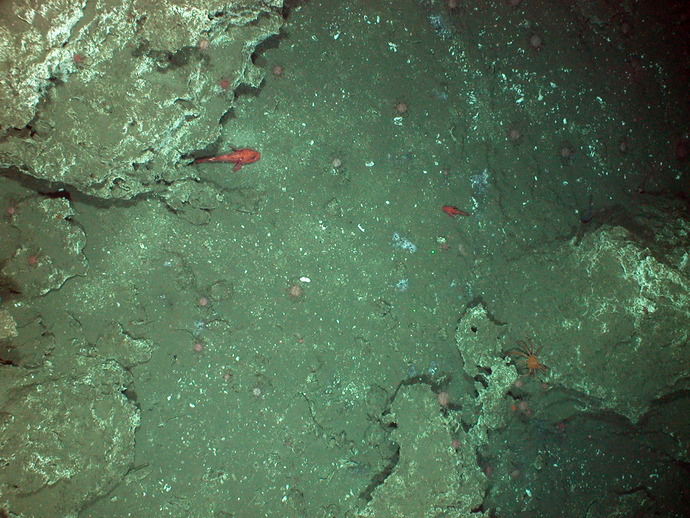
Methane seep with bacterial mats imaged by Jason during dive 508 at Southern Hydrate Ridge.
After successful dives with both Jason and Sentry yesterday, we transited southwest ~12 hours overnight to our second survey location at Southern Hydrate Ridge where we will spend much of the remainder of this first leg of the cruise. We spent the morning deploying and calibrating acoustic transponders that will be used for navigation of both vehicles during the next round of surveys. This network of transponders allows us to accurately locate the vehicles. Thus, at a water depth of 2400 feet, locations on the seafloor will be mapped to within 30 feet of their location. We are currently ~50 nautical miles west of Newport, OR and Sentry has just initiated a survey to map a 4-km box encompassing the most actively seeping portions of Southern Hydrate Ridge. When the Sentry mission is completed using the RESON multibeam sonar we will have a detailed, high-resolution (<1 m) bathymetric map of the seep sites and subsurface.
Jason Dive J2-508: Through the evening and into July 31, Jason continued its 30-hr survey of Southern Hydrate Ridge to document geology, biology, and sites of active methane venting. The goal of this dive is to obtain a detailed geologic map of the area with well-located sites of methane seeps. These data are critical to optimally design the placement of sensors that are key to measuring active processes on the seafloor and the location of nodes and cables as part of the Regional Scale Nodes network, the high-power and high-bandwidth component of the NSF Ocean Observatories Initiative. To determine whether or not our bathymetric map was well located within our new navigation net, we began the dive ~ 300 m west of a 50 m (~150 feet) tall limestone tower called the Pinnacle. Within ~ 300 m of driving Jason east, we encountered a series of fractured, extensive carbonate slabs, the base of the Pinnacle. Jason transited around the base and up over the top of a southern "knob" and began a series of NW-SE-trending lines that serve as guides for our survey. As the Jason survey progresses towards the north and into what has been historically the most active seep areas, the survey lines will become closer and closer together for more complete coverage. Early in the morning of July 31, we encountered a series of Ocean Drilling Program holes, one with what looked to be methane hydrate rimming the edge.
Through the afternoon of July 30 and into the late morning of July 31, Sentry continued its high-resolution mapping of Southern Hydrate Ridge at the same time that Jason was in the water. At times Sentry flew within 100 m of Jason.