Over 11,000 images provide unprecedented new insights into this novel ecosystem driven by the release of methane gas from the seafloor
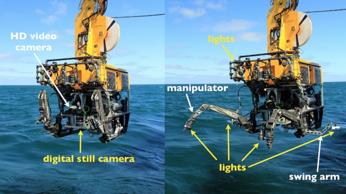
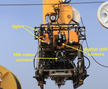
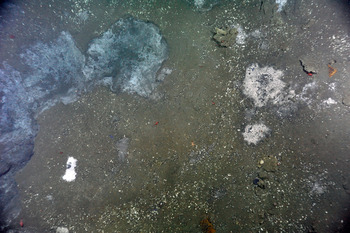
To optimize the ROV for a down-looking photo survey, the ROPOS crew spent about 10 hours overnight reconfiguring cameras, lights, and cables on the vehicle. In its normal configuration, the ROPOS’s digital still camera is located fairly high on the vehicle. For this survey, however, the crew moved the camera as low as they could on the vehicle and oriented it so it was pointed directly down. The majority of the lights that are normally located on the ‘brow’ of the vehicle were also repositioned onto the swing arms and manipulators. With the camera and lights repositioned in this configuration, we obtained 11,000 images to creat a detailed map view (think aerial photography) of the seafloor that will be seemlessly stitched together onshore to create a photomosaic of the site. In total, the most active seep area stretches over three football fields in length.
This photomosaic will be used by OOI scientists to carefully choose the exact position of the cabled OOI instruments and sensors that will be deployed here in 2013. Some of these instruments are those normally thought of as residing in onshore science laboritories. Sensors to be deployed include mass spectrometers to measure the concentration of gases coming out of the seafloor, high resolution digital still cameras to image changes in the animals and microorganisms that thrive in this unique ecosystem, and seismometers to detect and locate eathquakes beneath the seafloor.


