Related Stories
At-Sea Immersion Prog
For over two decades the University of Washington has enabled at-sea experiences ...
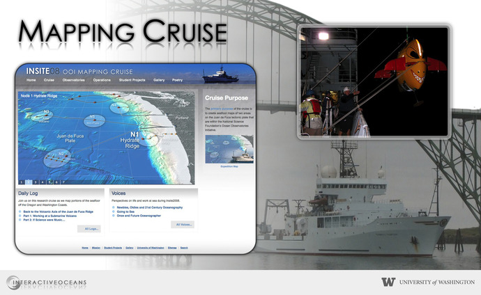
The INSITE'08 Expedition

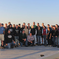
Students and the research team clusters around the AUV sentry during INSITE '08
The INSITE '08 expedition ended on 5 August 2008. The archived website is still available HERE.
Summary of INSITE '08 Activities
The primary purpose of the INSITE '08 cruise onboard the R/V Thompson was to map the seafloor at OOI Regional and Coastal study sites: Hydrate Ridge, the Endurance Array 500-meter site, and Axial Seamount.
Significant accomplishments were the following:
- High-quality overview bathymetric maps of sites at ~50-meter resolution obtained using the Thompson’s EM 300 transducer.
- High-resolution bathymetric maps at ~1 meter resolution of these complex sites in preparation for deployment of Regional Scale Nodes infrastructure. The maps were obtained using the Autonomous Underwater Vehicle (AUV) Sentry on its first-ever formal science expedition.
- Collection of underwater digital photographs using TowCam to ground truth the EM300 and Sentry bathymetric data.
- First at-sea use of the Collaborative Ocean Visualization Environment (COVE) tool.
- Student education and engagement. Five undergraduates and one graduate student from the University of Washington and two post-undergraduate students from the College of Charleston participated in all aspects of cruise planning and activities. Four of the undergrads worked on cruise-specific research projects.
