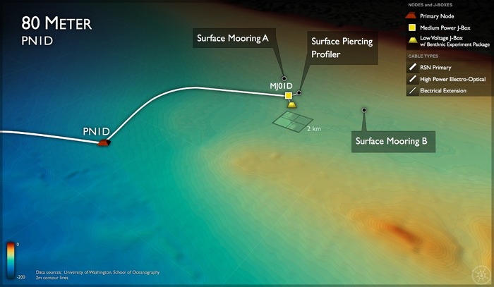
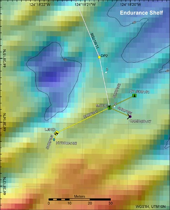
Location: 44°38.238ºN 124°18.336ºW Water Depth: 80 meters
The Oregon Endurance Shelf Site, at a water depth of 80 m, is the shallowest cabled site along the Oregon Endurance Array. This site is shared between the Regional Cabled and Endurance Array, with all cabled infrastructure operated and maintained by the University of Washington. The Endurance Array,in total, includes two cross-shelf moored array lines: 1) the Oregon Line (also called the Newport Line) and the Washington Line (also known as the Grays Harbor Line). Each of these lines contain three fixed sites spanning the slope (500-600 m), shelf (80 m) and inner-shelf (25 m). These moorings provide synoptic, multi-scale observations of the eastern boundary current regime. The Oregon and Washington Lines are both affected by wind-driven upwelling and downwelling, but shelf stratification and upper-ocean properties are influenced differently at each location by the Columbia River outflow. Autonomous seagliders provide 4D profiling surveys that measure key ocean parameters that complement the mooring observations. Long term measurements of key ocean variables at both locations will allow for a greater understanding of coastal ocean ecosystem responses to climate variability.


