- Visions18
- Visions17
- Visions16
- Visions15
- Visions14
- Construction
- Visions13
- Visions12
- Visions11
-
Enlighten
- As Enlighten '10 Ends
- Exploring an Active Caldera
- Life in the Extreme
- Dive J2-516
- Transforming the ROV Jason
- Weather: Sunday August 15, 2010 ...
- International District to ASHES ...
- A Day Full of Vents and Sunshin ...
- Students at Sea
- Captain's Weather Report
- Weathering a Bit of a Blow
- Details at ASHES
- First Jason Dive at Axial Seamo ...
- David's Spheres
- Newport to Axial Volcano
- Port Call, Newport, Oregon
- Final Science Day Leg 1
- Nice Weather
- Finding a Passion
- Meter-Scale Imaging
- Bubbles from the Seafloor
- Documenting Seep Sites
- Social and Scientific
- Nested Surveys
- Kinship Aboard the Thompson
- Exploring Gary's Bad Hang with ...
August 2010
July 2010

Related Images and Videos : View All
Documenting Seep Sites
Tuesday, August 03, 2010
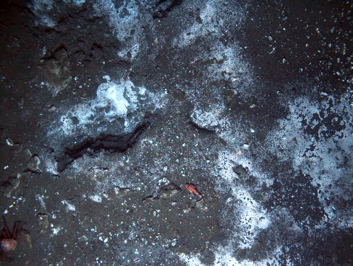
Documenting all Major Seep Sites at Southern Hydrate Ridge

A half-scale model of a potential frame design is lowered off the R/V Thompson for deployment at Southern Hydrate Ridge using Medea and Jason. The frame is also being tested to see how different materials react to biofouling during long-duration deployments.

Skip Denny, an engineer at the Applied Physics Lab, University of Washington, helps direct deck operations during set up of a node frame prior to deployment with Jason and Medea at Southern Hydrate Ridge.
Following recovery of Jason from Dive J2-511, and Sentry, both vehicles had down time to adjust sensors, charge Sentry's batteries, and to prepare the vehicles for the next long dives. The science team planned out a detailed video mosaicking run with Sentry over the major seep site area. Dana Yoerger, Sentry Expedition Leader, laid out a tight gird with Sentry "flying" 4 m off the seafloor, continuously snapping photos for follow-on mosaicking. In addition, an Eh sensor, which measures reduction-oxidation potential differences in the ocean fluids, will map out zones of active seepage.
During this time, a mosaicking run by Jason was planned to thoroughly characterize the limestone Pinnacle site located ~400 m to the southwest of where Sentry will be working. This area was chosen because: 1) Sentry will be working at the major seep site, thus preventing access by Jason; 2) the Pinnacle has never been well documented; and 3) just-completed work around the Pinnacle indicates a distinct bubble plume, and Eh hits indicate active seep sites in this area. In concert, these high-resolution data sets will form an important foundation for laying out the observatory's node and instrumentation sites at Southern Hydrate Ridge.
The morning was not only an intense time for mission planning, but also for preparing to deploy a mock-up node frame for testing of design and materials. The frame measures 1.5 X 1.5 X 2 meters and weighs ~700 lbs. The plan was to deploy the frame using the Jason-associated vehicle, Medea. Upon signal, the tether, run from Medea to the frame, would be dropped and the frame released once in place on the seafloor. This operation required extensive deck and deployment planning.
Sentry went into the water in the afternoon and began its ~32-hr mission to saturation map the seafloor with digital images. After monitoring Sentry for an hour to ensure that it was functioning properly, the node frame, Jason, and Medea were launched. Jason reached the seafloor at ~ 745 m and deployed a small target. The frame was then flown into place with Medea and released within a few feet of the marker (Marker F). Jason then flew down to the Pinnacle site and began a few-hour run of flying at 80 m off the seafloor to test the RESON sonar for bathymetric mapping, followed by the beginning of a several-hour mosaicking run on the Pinnacle.